
Developing personalized charity journeys to increase donor satisfaction strengthen community trust and expand our humanitarian by global philanthropic.
610, 6th Floor, Guru Krupa HSG (Tower), Pantnagar, Ghatkopar East, Mumbai - 400 075, Maharashtra



Drone Survey
 WhatsApp
 Call
Advanced Drone Survey Services For Accurate Aerial Mapping
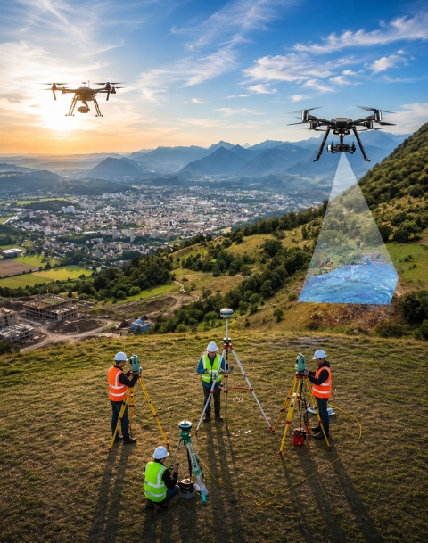
Our drone survey services provide fast, accurate, and cost-effective aerial mapping solutions for marine, coastal, offshore, construction, infrastructure, and land development projects. Using advanced UAV technology, we capture detailed aerial imagery, terrain information, site conditions, and visual data from difficult-to-access areas.
What Is A Drone Survey?
A drone survey uses unmanned aerial vehicles equipped with high-resolution cameras and specialized sensors to collect aerial data. This technology enables efficient mapping, inspection, monitoring, and documentation while reducing the need for extensive manual fieldwork.
Infrastructure Inspection
Drone technology enables efficient visual inspection of buildings, structures, towers, bridges, industrial facilities, and other difficult-to-access assets.
Progress And Site Documentation
Detailed aerial imagery provides clear visual documentation for project monitoring, reporting, planning, and operational decision-making.
Experienced Survey Professionals
Our skilled survey team combines drone technology with professional surveying knowledge to ensure reliable data collection, accurate processing, and useful project outputs.